
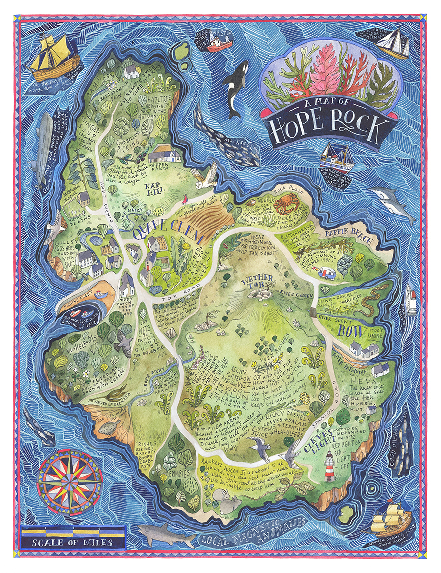
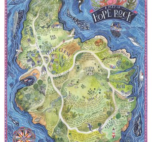
A Map of Hope Rock
I was commissioned to create this imagined island for Thames and Hudson’s ‘Archipelago; An Atlas of Imagined Islands’, edited by Dr Huw Lewis-Jones. The atlas was inspired by the 300th anniversary of the publication of Daniel Defoe’s ‘Robinson Crusoe’ and I wanted the map to reflect the theme of survival with local foraging and survival notes. Hope Rock has it’s own imagined coordinates (off the coast of Devon, UK) with it’s own geography and history. It was important to me that the island seemed as ‘real’ as possible so these imagined stories are twisted together with genuine historical facts.Time was spent reading academic papers in local folk medicine, Devonian linguistics and dialect plant names to make the language and details used in the annotations as believable as possible.
Creating the Map of Hope Rock became and exercise in understanding what makes a place; a combination of layers of geography, geology, botany, language, culture and history that have laid themselves down through time.
Image copyright: Helen Cann. Book copyright: Thames and Hudson
Watercolour and ink on paper. 20×26 cms.
Related projects
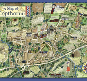
A Map of Copthorne
A map of the Sussex Weald village, Copthorne, commissioned as part of a walking and arts project, ‘About the Place’, by Mid Sussex

A Map of Crawley Down
A map of the Sussex Weald village, Crawley Down, commissioned as part of a walking and arts project, ‘About the Place’, by Mid Sussex
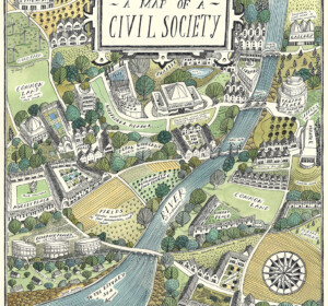
A Map of Civil Society
A map commissioned by Rethinking Civil Society, an academic project based at the University of York in collaboration with the Leverhulme Trust
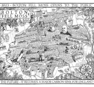
A Map of Bolton Fell Moss
A nine month project in collaboration with the University of Cumbria as an Honorary Research Fellow, National England and the PLACE collective.
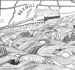
Mural: A Map of the Sea and the De La Warr Pavilion
A commission by the De La Warr Pavilion on the UK South Coast to create a mural of a map reflecting the Pavilion’s relationship with the
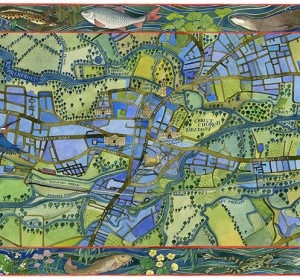
A Map of the Waterways of Oxford
An illustrated map of the waterways of Oxford showing the historic features of the city with borders of local river wildlife. Watercolour,

The Apple World
A map of the history, science and culture of the apple throughout the world, commissioned by the National Trust, the Museum of Cider and the
Mural: A Map of the Midsummer Stars above Brighton
I was commissioned to adapt my original ‘Map of the Winter Stars from the Northern Hemisphere’ into a mural by MMoser Associates. The

A Map of Gyptian Waterways in Oxford
I was commissioned by Badwolf to create this map prop of the waterways of Oxford for the BBC/HBO production of ‘His Dark Materials’ .
A Map of Hope Rock
I was commissioned to create this imagined island for Thames and Hudson’s ‘Archipelago; An Atlas of Imagined Islands’, edited